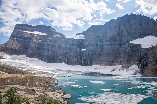

The best Glacier National Park waterfalls for a short stop are Bird Woman Falls, seen across the valley from a roadside overlook, and Running Eagle Falls, an accessible 0.3-mile walk. At Dark Light Collection, we are building glass pyramids within 15 minutes of Glacier National Park's West Entrance, and we grouped these falls from the park's own trail records. For an extended half-day outing, take the trail to St. Mary Falls and continue upward to Virginia Falls.
The Best Waterfalls in Glacier National Park at a Glance
Glacier National Park waterfalls divide into three distinct access styles: drive-up viewpoints, short nature walks, and half-day trail hikes. Roadside travelers can view cascades directly from Going-to-the-Sun Road without leaving the pavement. Hikers can reach waterfalls in under two miles one way. In our synthesis of the park's trail records, we sorted the falls by how you reach them. You can combine several of these routes with other best hikes in Glacier National Park during a single visit.
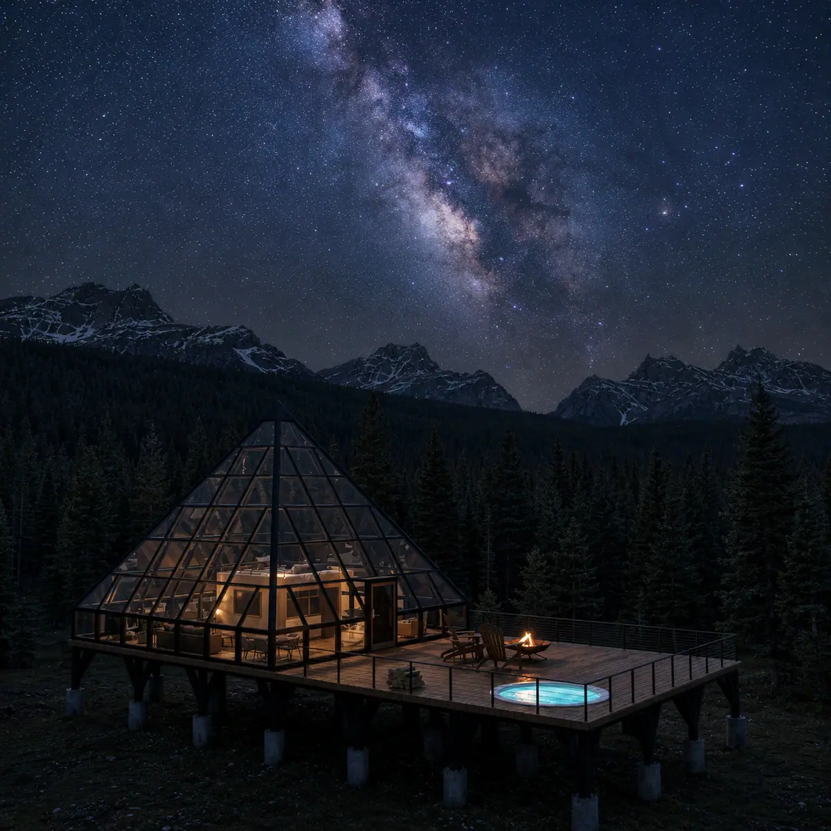
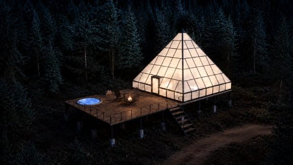

Stay Near Glacier's High Alpine Waterfalls
Get early access to our pyramids near Bryce Canyon and Glacier, with priority booking to all locations.
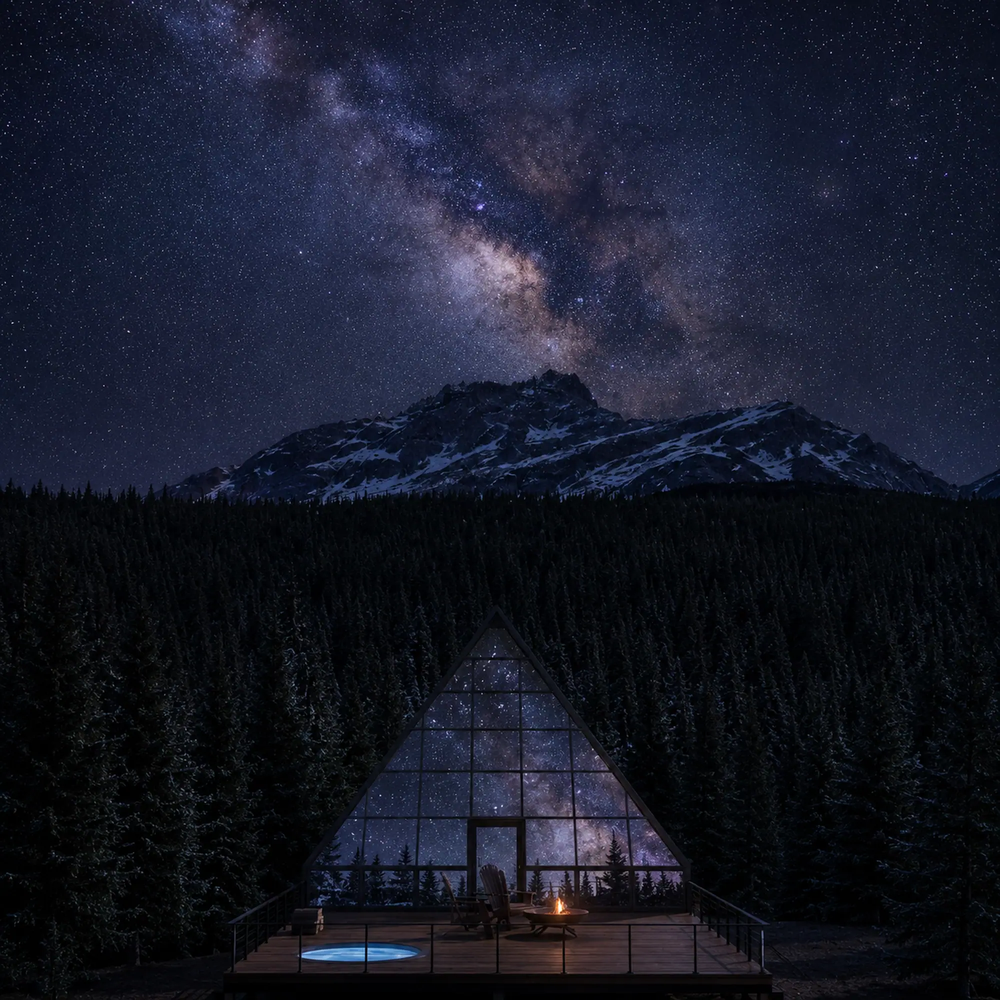
Concept renderings
| Waterfall | Park Area | Access Type | One-Way Distance | Elevation Profile |
|---|---|---|---|---|
| Bird Woman Falls | Going-to-the-Sun Road | Roadside overlook | 0.0 mi | Level overlook |
| Weeping Wall | Going-to-the-Sun Road | Roadside drive-by | 0.0 mi | Roadside grade |
| Running Eagle Falls | Two Medicine | Short walk | 0.3 mi | 47 ft gain, 8 ft loss |
| St. Mary Falls (Shuttle Stop) | St. Mary Valley | Day hike | 0.8 mi | 260 ft loss |
| St. Mary Falls (Trailhead) | St. Mary Valley | Day hike | 1.2 mi | 260 ft loss |
| Virginia Falls | St. Mary Valley | Day hike | 1.8 mi | 359 ft gain, 335 ft loss |
| Baring Falls | Sunrift Gorge | Short walk | 0.3 mi | 50 ft gain, 115 ft loss |
| Sunrift Gorge Falls | Sunrift Gorge | Short walk | 200 ft trail | 65 ft gain |
| Apikuni Falls | Many Glacier | Steep hike | 0.8 mi | 651 ft gain, 91 ft loss |
| Redrock Falls | Many Glacier | Moderate hike | 1.9 mi | 267 ft gain, 105 ft loss |
| Rainbow Falls | Goat Haunt | Day hike | 1.0 mi | 172 ft gain, 108 ft loss |
Distances are one way from the trailhead or shuttle stop in each row.
Waterfalls Along Going-to-the-Sun Road
Along Going-to-the-Sun Road, the Bird Woman Falls Overlook looks across the valley to Bird Woman Falls, which drops 492 feet. The cataract originates between Mount Oberlin to the left and Mount Cannon to the right. The overlook provides auto parking for visitors.
Further along the highway wall sits the Weeping Wall. A product of Going-to-the-Sun Road's construction, the Weeping Wall is a series of waterfalls along the roadway. Early in the summer, westbound drivers sometimes roll through its spray with the windows down. Late in the summer season, water volume recedes to a light trickle.
Before finalizing a drive focused on roadside waterfalls, review our complete Going-to-the-Sun Road guide for seasonal opening updates and road navigation advice.
St. Mary Falls and Virginia Falls Trail Routes
The hike to St. Mary and Virginia Falls is one of the most popular day hikes on the east side of Going-to-the-Sun Road.
St. Mary Falls is an iconic, double waterfall of clear blue water just above St. Mary Lake. Fire burned the forest here in 2015, so the trail has little shade.
Visitors have three distinct ways to reach St. Mary Falls on foot:
- From the St. Mary Falls Shuttle Stop: 0.8 miles one way with 260 feet of elevation loss.
- From the St. Mary Falls Trailhead: 1.2 miles one way with 260 feet of elevation loss.
- From the Rising Sun boat dock: 1.6 miles one way with 140 feet of elevation gain after taking a concession-operated scenic tour boat across St. Mary Lake (tour ticket fees apply).
The St. Mary Falls trailhead also provides access to Virginia Falls. Starting from the main St. Mary Falls Trailhead, the full walk to Virginia Falls spans 1.8 miles one way. Along that 1.8-mile leg, the route climbs 359 feet of elevation gain while experiencing 335 feet of rolling descent. The trail leads directly to Virginia Falls.
Parking at the St. Mary Falls Trailhead is limited and fills quickly during the busy months. Hikers can also access Virginia Falls by starting farther east at the Sun Point Picnic Area.
Running Eagle Falls and the Two Medicine Valley
Located in the Two Medicine area of the park, Running Eagle Falls offers an accessible trail experience.
The trailhead sits just past the Two Medicine entrance station and provides dedicated auto parking, bus spaces, accessible family restrooms, and information kiosks. Reaching the falls requires a gentle walk of 0.3 miles one way. The path gains 47 feet of elevation with just 8 feet of loss. This trail is wheelchair-accessible up to a viewing area of the falls, but not past the creek.
While at the site, visitors can also walk the 0.7-mile Running Eagle Falls Nature Trail loop. The nature trail explains how people who lived here for centuries used native plants for food, fuel and other needs.
Waterfall Hikes Across Many Glacier and Avalanche Creek
In the Many Glacier Valley, the Apikuni Falls Trail offers a short but steep hike. The trail covers 0.8 miles one way, starting from a designated parking area 1.1 miles east of Many Glacier Hotel. While short, this steep path climbs 651 feet and drops 91 feet as it cuts along Apikuni Creek. Hikers cross a rocky mountainside with views of Mount Altyn towering overhead to the west and Lake Sherburne to the south before arriving at the falls.
For a gentler valley walk in Many Glacier, choose the Swiftcurrent Pass Trail to Redrock Falls. Leaving from the west end of the Swiftcurrent Motor Inn parking lot, the trail runs 1.9 miles one way. It gains 267 feet of elevation and loses 105 feet over rolling terrain. Keep an eye out for moose along the way, as they are sometimes spotted in this area.
The Avalanche Creek area hosts the scenic Trail of the Cedars. This 0.9-mile boardwalk loop gains and loses 83 feet under old-growth cedars and hemlocks. Along the loop, visitors can see the force of water carving Avalanche Gorge and listen to American dippers. For a longer day, continue up the moderate Avalanche Lake Trail to reach Avalanche Lake.
At the Goat Haunt Ranger Station, hikers can take the 1.0-mile trail to Rainbow Falls. The path climbs 172 feet and loses 108 feet, passing an active mineral lick where deer gather.
Peak Snowmelt Timing and Seasonal Planning
Glacier's waterfalls depend on winter snow accumulation and summer thaw cycles. The Weeping Wall slows to a trickle by late summer. Later in the season, visitors can focus on waterfall hikes like St. Mary Falls and Virginia Falls.
Park operational windows require careful calendar management. Going-to-the-Sun Road has no fixed opening date each spring, though road crews typically open the complete alpine highway by early July. In 2026, the park operated a ticketed-only Logan Pass Shuttle system from July 1 to September 7, requiring advance reservations through Recreation.gov with a $1 processing fee. Transit plans for the upcoming operational season have not yet been announced. Snow is possible at lower elevations as early as mid-September.
If early season highway closures block Logan Pass, shift your itinerary away from the Weeping Wall and explore accessible lower-elevation options like Running Eagle Falls in Two Medicine.
Start with the roadside Bird Woman Falls and Weeping Wall on Going-to-the-Sun Road in early summer, add St. Mary and Virginia Falls for a half-day hike, and choose Running Eagle Falls for an accessible short walk. Late in the season the roadside falls shrink, so lean on the hikes.
Our Glacier pyramids open in 2027 within 15 minutes of Glacier National Park's West Entrance and about 20 minutes from Lake McDonald. Each pyramid has triple-pane glass, a private deck with a fire pit and a personal deck telescope. Reserve a founding stay with the Reserve button.
After a day exploring the waterfalls, you can enjoy the night sky. Our glass pyramids near the West Entrance let you stargaze in warmth with private deck telescopes.
Frequently asked questions
How many waterfalls are in Glacier National Park?
Glacier National Park has no single official waterfall count, so plan around the named falls: Bird Woman Falls and the Weeping Wall from the road, Running Eagle Falls on a short walk, and St. Mary and Virginia Falls on a half-day hike.
Where is Virginia Falls?
Virginia Falls is located on the east side of Going-to-the-Sun Road in Glacier National Park. Hikers reach the falls by walking 1.8 miles one way from the St. Mary Falls Trailhead or by beginning at the Sun Point Picnic Area.
How long is the hike to St. Mary Falls?
The hike to St. Mary Falls measures 0.8 miles one way from the St. Mary Falls Shuttle Stop and 1.2 miles one way from the St. Mary Falls Trailhead. Visitors using the concession tour boat from Rising Sun walk 1.6 miles one way.
Is Running Eagle Falls wheelchair accessible?
Yes, Running Eagle Falls is wheelchair-accessible along its 0.3-mile trail up to the designated viewing area overlooking the falls. The trail section extending past the creek is not wheelchair-accessible.
Can you see waterfalls from Going-to-the-Sun Road?
Yes, travelers can see waterfalls directly from Going-to-the-Sun Road without hiking. The 492-foot Bird Woman Falls is visible across the valley from a roadside overlook, and the Weeping Wall sprays water directly alongside the roadway during early summer.
Stay Near Glacier's High Alpine Waterfalls
Get early access to our pyramids near Bryce Canyon and Glacier, with priority booking to all locations.
Reserve Your Pyramid Stay near Glacier →