
The Fairyland Loop Trail covers 8.0 miles with approximately 1,900 feet of elevation gain and takes four to five hours to complete. At Dark Light Collection, we are building glass pyramids about 15 minutes from Bryce Canyon National Park, and we built this guide from the park's own trail records. The trail combines walking along the plateau rim with an extensive descent into Fairyland and Campbell canyons.
How Long the Fairyland Loop Trail Takes
The Fairyland Loop Trail takes most hikers four to five hours over 7.8 to 8.0 miles. In our synthesis of the National Park Service trail records, the loop appears at 8.0 miles with 1,900 feet of total ascent and, on its trail specification pages, at 7.8 miles with a 1,716-foot elevation change, so plan on about 8 miles and 1,900 feet.
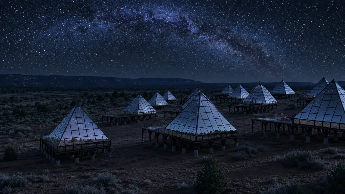
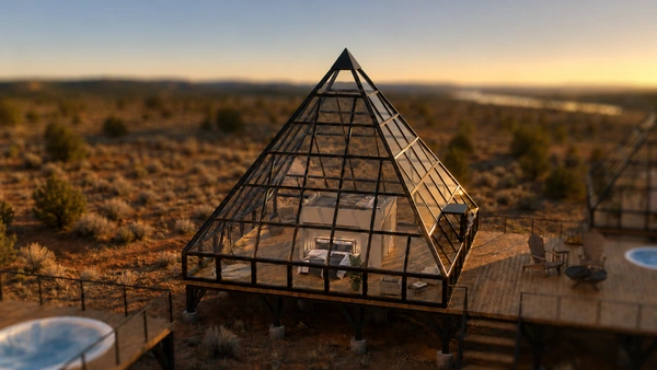
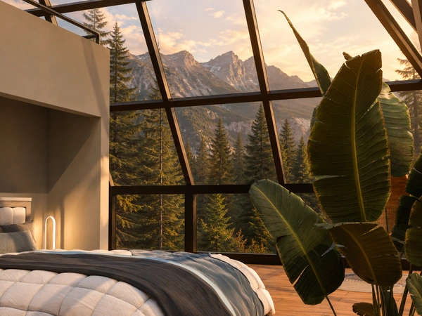
Reserve Your Stargazing Pyramid Near Bryce Canyon
Get early access to our pyramids near Bryce Canyon and Glacier, with priority booking to all locations.
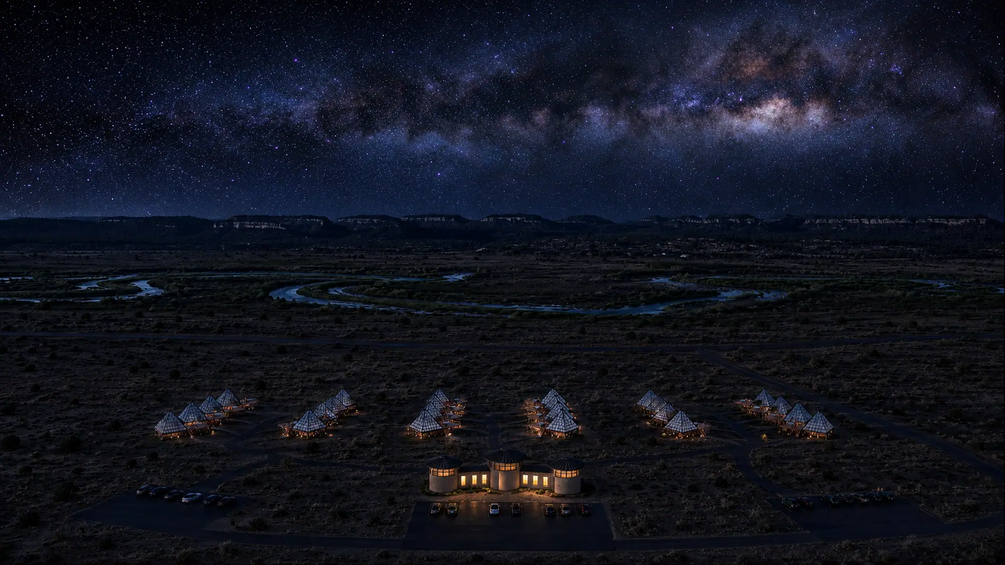
Concept renderings
The park classifies the trail as strenuous due to its longer distance and rapid elevation changes. The park recommends hiking it counter-clockwise, so you descend the Tower Bridge section instead of climbing it.
Hikers comparing this route to the best hikes in Bryce Canyon will find that the Fairyland Loop offers a quiet, strenuous alternative to the amphitheater trails.
Where to Start: Fairyland Point or Tower Bridge Trailhead
Hikers can begin the loop at either Fairyland Point or the Tower Bridge trailhead located a quarter-mile north of Sunrise Point. Fairyland Point sits at the end of a one-mile spur road just south of the park entrance station and marks the northern terminus of the 5.5-mile Rim Trail. Parking is available at the viewpoint, and oversized vehicles are permitted. Fairyland Point has no shuttle stop and no visitor services.
The alternative start point is the Tower Bridge trailhead along the Rim Trail, situated 0.25 miles north of Sunrise Point. Hikers who begin here use the parking facilities at Sunrise Point. During the shuttle operating season, which ran from April through mid-October in 2026, oversized vehicles are prohibited in the Sunrise Point parking area. The park shuttle drops passengers directly at Sunrise Point, making this trailhead accessible without driving during shuttle season. Next season's operating dates have not been announced.
Services are available near Sunrise Point, including accessible restrooms and seasonal water-fill stations at the General Store.
The Rim Section and the Canyon Floor
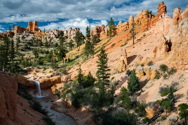
The Fairyland Loop combines 2.5 miles of high-elevation walking along the Rim Trail with 5.5 miles of winding trails through Fairyland and Campbell canyons. The entire path traces a wide circle centered around Boat Mesa, a flat-topped landmark rising to an elevation of 8,073 feet. Boat Mesa is capped with the Conglomerate at Boat Mesa, a durable rock layer deposited by braided gravel rivers after the ancient freshwater lakes of the Claron Formation drained away.
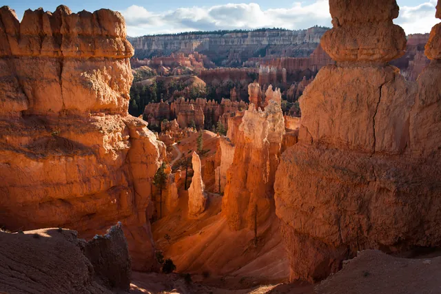
The hoodoos within Fairyland Canyon are geologically younger than the formations found further south in the central Bryce Amphitheater. Active erosion connected to the Paria River continually carves the Paunsagunt Plateau northward and westward. Thrust faulting tied to the volcanic activity that built the Black Mountains about 20 million years ago cracked these hoodoos diagonally. In places it pushed older Cretaceous rock of the Grey Cliffs up on top of the pink Claron Formation.
Immediately south of Fairyland Canyon lies Campbell Canyon, known for its hoodoo graveyard where ancient spires have weathered into rounded clay mounds. Prominent rock formations along this section include the Chinese Wall, towering cathedral spires, and the Sinking Ship. Sinking Ship stands tilted at an angle of roughly 30 degrees along the Paunsagunt fault line, contrasting with the flat Table Cliff plateau standing at 10,000 feet across the Paria Valley.
Bristlecone pines grow on white and gray exposures of dolomitic limestone along the trail. Dolomitic limestone contains high levels of calcium and magnesium and low amounts of phosphorus, creating an environment where few other plants can survive. The oldest bristlecone pine in Bryce Canyon is estimated to be 1,600 years old. Their dense needles grow in bundles of five and can stay green for up to 40 years. The rim section runs through quiet ponderosa forest, and the meadows of grass and sage west of Fairyland Point are the place to look for mule deer and pronghorn.
Tower Bridge as a Shorter Fairyland Hike
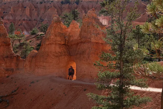
The Tower Bridge trail provides a 3.0-mile out-and-back alternative for hikers who want to see Fairyland scenery without committing to the full loop. Beginning at the trailhead 0.25 miles north of Sunrise Point, this moderate route descends 1.5 miles into Campbell Canyon with 760 to 802 feet of total elevation change. The trail reaches a short, shady spur, listed at 200 yards to a quarter mile, that leads to the base of the Tower Bridge hoodoo. Hikers spend two to three hours on the round trip before returning up the same path to the rim.
Tower Bridge also features an official benchmark for Bryce Canyon's "I Hiked the Hoodoos" program. Visitors who hike at least three miles or locate three benchmarks across the park can collect pencil rubbings or take photos to show rangers at the Visitor Center for a special commemorative reward.
| Trail Option | Total Distance | Elevation Change | Average Time | Trail Difficulty | Starting Trailhead | Shuttle Access |
|---|---|---|---|---|---|---|
| Full Fairyland Loop | 7.8 to 8.0 miles | 1,716 to 1,900 ft | 4 to 5 hours | Strenuous | Fairyland Point or Sunrise Point | Sunrise Point only |
| Tower Bridge Out-and-Back | 3.0 miles round trip | 760 to 802 ft | 2 to 3 hours | Moderate | North of Sunrise Point | Yes (Sunrise Point) |
Use the table to match the hike to your time: the full loop for a 4 to 5 hour day, Tower Bridge for under 3 hours.
Trail Conditions, Width, and Winter Access
The Fairyland Loop consists of firm native sediment with an average trail width of 49 inches and a minimum width of 16 inches. Typical trail grades measure 9.0%, with steep pitches reaching a maximum grade of 25.0%. Cross slopes average 5% and reach up to 39%. The park does not consider it an accessible trail.
Pets are not permitted on the Fairyland Loop Trail or the Tower Bridge spur, though trained service animals are allowed throughout the park. The only section of the Rim Trail that allows leashed pets is the paved 0.5-mile section between Sunrise Point and Sunset Point. Hikers who prefer shorter paths can read the Navajo Loop Trail guide for an alternative route below the rim.
Winter conditions change trail access. Mid-winter snow depths range from 2 to 15 feet (0.7 to 5 meters), which can make the trail inaccessible. In addition, the spur road to Fairyland Point closes to vehicle traffic in winter to allow cross-country skiing and snowshoeing along the rim.
Official trail closures or reroutes, deep winter snowpack, or future shuttle additions at Fairyland Point would change our logistical recommendations.
Fairyland Loop After Dark and Where to Stay
Hike the full Fairyland Loop counter-clockwise from the Tower Bridge trailhead near Sunrise Point if you have 4 to 5 hours, since that start has the shuttle stop, seasonal restrooms and water. If you have under 3 hours or want a moderate hike, take the 3.0-mile Tower Bridge out-and-back instead. In mid-winter, expect deep snow and a closed Fairyland Point road. Bryce Canyon National Park was certified as an International Dark Sky Park in 2019.
After 4 to 5 hours on the trail, a bed 15 minutes away keeps the evening simple. We are opening luxury glass pyramids on private land about 15 minutes from the park entrance. Our architectural pyramids feature king beds positioned for night-sky viewing, private decks with fire pits, heated loungers, and personal telescopes. Guests can transition from the rugged trails of Fairyland Canyon directly to a night under the stars. See our Bryce Canyon pyramids and reserve a founding stay with the Reserve button.
After dark, Fairyland Point and Sunrise Point sit under the same certified dark sky, about 15 minutes from our Bryce pyramids.
Frequently asked questions
How long is the Fairyland Loop Trail?
The Fairyland Loop Trail is 7.8 to 8.0 miles long with approximately 1,900 feet of total elevation gain. Most hikers complete the circuit in four to five hours.
Where do you park for the Fairyland Loop?
Park at Fairyland Point or at Sunrise Point near the Tower Bridge trailhead. Oversized vehicles are permitted at Fairyland Point but are prohibited at Sunrise Point during shuttle hours.
Is the Fairyland Loop open in winter?
The trail may be inaccessible during mid-winter due to snow depths of 2 to 15 feet. The road to Fairyland Point closes to motor vehicles in winter to accommodate cross-country skiing and snowshoeing.
Is the Fairyland Loop harder than the Navajo Loop?
Yes, the Fairyland Loop is strenuous due to its 8-mile length and 1,900 feet of climbing. While the Navajo Loop is a shorter amphitheater trail, the Fairyland Loop takes four to five hours.
Can you take the shuttle to Fairyland Point?
No, the park shuttle does not stop at Fairyland Point. Hikers who want to use shuttle transit must access the loop at Sunrise Point via the Tower Bridge trailhead.
Reserve Your Stargazing Pyramid Near Bryce Canyon
Get early access to our pyramids near Bryce Canyon and Glacier, with priority booking to all locations.
Reserve Your Pyramid Stay near Bryce Canyon →